Color Map Layers: Difference between revisions
Jump to navigation
Jump to search
(Created page with "== General == Color map layers, or paletted data layers are single channel data layers, for example elevation data, which can be colored according to a user definable palette...") |
No edit summary |
||
| Line 5: | Line 5: | ||
[[File:Screenshot 2021-05-31 100545.png|thumb]] | [[File:Screenshot 2021-05-31 100545.png|thumb]] | ||
[[File:Screenshot 2021-05-31 100636.png|thumb]] | |||
[[File:Screenshot 2021-05-31 100817.png|thumb]] | |||
== Low Level API == | == Low Level API == | ||
Revision as of 10:11, 31 May 2021
General
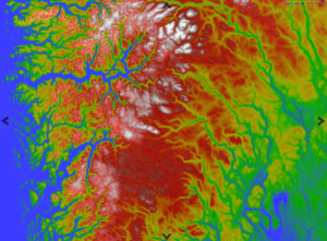
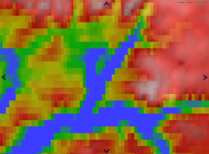
Color map layers, or paletted data layers are single channel data layers, for example elevation data, which can be colored according to a user definable palette. Values in the map data are matched with colors in the palette, and the neighboring values may be interpolated over the span of colors in the palette.
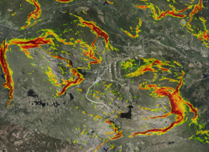
Colors may be mapped directly to data values, or there may be a calculation involved. For example we have the possibility to assign colors based on slope or aspect of elevation data sets.


