File:SimpleRouteCoverage.png
Jump to navigation
Jump to search


Size of this preview: 573 × 600 pixels. Other resolution: 582 × 609 pixels.
Original file (582 × 609 pixels, file size: 549 KB, MIME type: image/png)
Summary
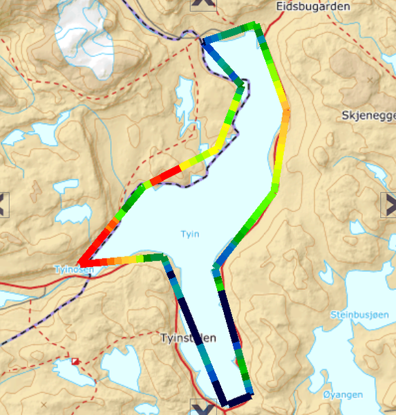
Simple radio coverage chart from a single transmitter along a path tracing the shoreline of the lake Tyin
File history
Click on a date/time to view the file as it appeared at that time.
| Date/Time | Thumbnail | Dimensions | User | Comment | |
|---|---|---|---|---|---|
| current | 12:08, 29 October 2020 | | 582 × 609 (549 KB) | Sse (talk | contribs) | Simple radio coverage chart from a single transmitter along a path tracing the shoreline of the lake Tyin |
You cannot overwrite this file.
File usage
There are no pages that use this file.