Color map layers
Colormap layers are single channel data layers, for example elevation data, or data such as census, clutter, etc, which are colored according to a color palette. Values in the data are matched with colors in the palette. Colors may be mapped directly to data values, or there may be a calculation involved. It is for example possible to assign colors based on slope (gradient) or aspect (direction of slope) of elevation data sets.
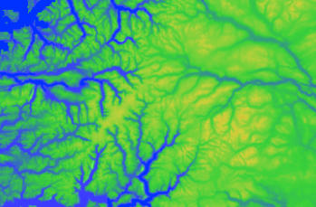
Elevation values
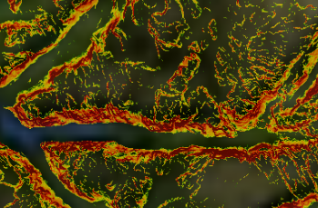
Slope values
Aspect values


Palettes
Color palettes are defined on the Palette tab, where either a new palette can be created or an existing palette edited.

Data sources
Data sources are defined on the Data source tab. A data source is either elevation data or generic data (for example clutter), and the data source can be configured to use all available data sets, specific data sets or data sets based on tags.
