Maria Map Maker Map tools
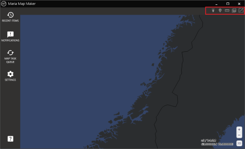
Maria Map Maker includes a few tools for changing or getting information from the map. Most of these tools can be reached from the top-right toolbar. Some tools will not be available in 3D mode.
Tiles export
The Tiles export functionality is documented in a separate article: Tiles export
Feature query
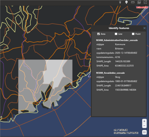
Feature query is used to display the attributes of features in a vector dataset. When the tool is active, you can click on features to display their attribute data in a separate window. The geometry type can be filtered, so that only the specified type (points, lines, or areas) will return attributes.
This tool is only enabled when a basemap/overlay is open.
Distance / elevation tool
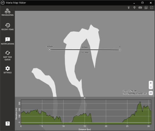
When the distance / elevation tool is active, you can left-click anywhere in the map to create the start point for a length measurement. Subsequent clicks creates waypoints, and a double-click completes the line. Each leg is labeled with its length, as well as the total lenght on the final point.
An elevation profile is also calculated along the line. The elevation is based on the highest available elevation datasets in your workspace.
Elevation shading
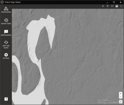
Elevation shading will be generated based on the highest available elevation datasets in your workspace. It will blend on top of any other map data which is currently displayed.


